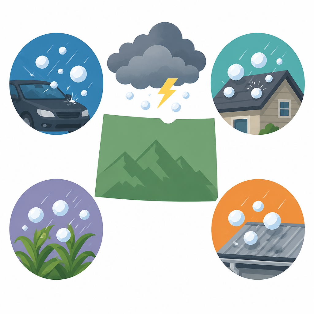
4 hail risks for Colorado on Monday
4 hail and storm risks to watch in Colorado Monday, including Denver, the I-25 corridor, and eastern plains counties.

Colorado could see hail, strong winds, and lightning Monday, with the highest risk east of Denver.
Colorado’s severe weather season is picking up, and Monday’s storm setup could bring hail to parts of the Front Range and eastern plains. One warning was already issued for Denver, Aurora, and Denver International Airport, and the National Weather Service said the system could also produce large hail farther east.
1. Denver
Get the latest AI news in your inbox
Weekly picks of model releases, tools, and deep dives — no spam, unsubscribe anytime.
No spam. Unsubscribe at any time.
Denver is in the mix for a slight hail risk, according to Pinpoint Weather meteorologist Travis Michels. The storm is expected to form quickly over the city and the Interstate 25 corridor before moving east during the afternoon.

- Risk level: slight
- Main hazards: hail, heavy rain, gusty winds
- Timing: mid-afternoon into early evening
If you are in the city, the biggest concern is a fast-changing storm that can drop hail and lightning with little lead time. Keep an eye on alerts if you have a commute, outdoor work, or travel plans.
2. Aurora and Denver International Airport
A severe thunderstorm warning was issued for Aurora and Denver International Airport until 1:45 p.m., which shows how quickly this system can become dangerous. These spots are close enough to the core storm track that hail and strong wind gusts can arrive early.
- Warning in effect: severe thunderstorm warning
- Window: late morning to early afternoon
- What to watch: hail, lightning, reduced visibility
Travelers should plan for possible delays, especially if they are heading to or from the airport. Even if the storm weakens later, the first round can still be intense enough to disrupt traffic and flights.
3. Yuma, Washington, and Kit Carson counties
The eastern plains are where the storm may strengthen the most, and that raises the chance of bigger hail. Areas like Yuma, Washington, and Kit Carson counties were singled out as places that could see hail as the system pushes east.
- Risk level: higher than Denver
- Main hazards: larger hail, heavy rain, strong winds
- Timing: afternoon into the night
These counties are farther from the urban heat and concrete of the metro area, which can help storms build. That means residents there should pay close attention to watches and warnings as the day goes on.
4. The eastern plains late Monday
The National Weather Service said the system could bring “large” or “very large” hail into parts of Kansas and Nebraska, and Colorado’s eastern plains are part of the same storm track. The threat should fade by evening, with most of the danger gone before midnight.
- Biggest concern: large hail
- Possible extras: isolated tornado, frequent lightning
- Forecast end: before midnight
For people across the plains, the key is timing. The storm may start near the Front Range, then intensify as it moves east, so what looks like a routine thunderstorm in town could become a stronger severe storm later in the day.
How to decide
If you are in Denver or along the I-25 corridor, prepare for hail, wind, and lightning during the afternoon. If you are in eastern Colorado, especially in counties like Yuma, Washington, and Kit Carson, treat the forecast more seriously because the storm may strengthen there.
The safest move is to monitor weather alerts, keep vehicles under cover if possible, and stay ready for quick changes. The Pinpoint Weather team said it will keep updating the forecast several times a day, which matters when storm timing can shift by the hour.
// Related Articles
- [IND]
6 bullpen notes for fantasy managers
- [IND]
Why dynamic leverage schedules are a sane risk control, not a trader …
- [IND]
Denver Hail Storm Slams Metro and DIA
- [IND]
5 storm timing cues for Denver this week
- [IND]
Denver hailstorm turns roads into a damage checklist
- [IND]
A.J. Brown Trade Talks Tilt Toward Eagles