Google Earth Should Not Ship AI Image Generation
Google Earth should not ship image generation without tighter spatial safeguards and human review.

2 minutes is too slow for a novelty feature, and too risky for a real one.
Google was right to pull Nano Banana 2 from Google Earth after users showed how easily it could turn a map into a hallucination engine. The feature promised generated historical reconstructions, custom infographics, and future city concepts layered onto real places, but the first public reaction was not trust. It was jokes, abuse, and immediate concern from people who care about geometry, accuracy, and public-facing tools.
First, the product fails the basic test of usefulness
Get the latest AI news in your inbox
Weekly picks of model releases, tools, and deep dives — no spam, unsubscribe anytime.
No spam. Unsubscribe at any time.
A feature that takes about two minutes per image is not a workflow tool. It is a demo. If a planner, teacher, or developer has to wait that long for every edit, the interface stops being an assistant and becomes a queue. The article itself notes that the feature did not work in Street View, which cuts out one of the most obvious practical use cases: editing from the ground-level perspective where spatial context matters most.
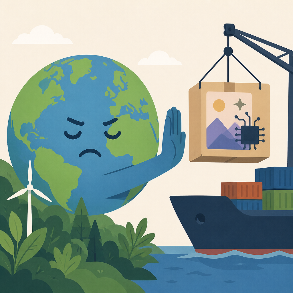
That matters because Google Earth is not a blank canvas. It is a place users open to understand real terrain, real buildings, and real routes. Once the output is slow and detached from the most relevant viewpoints, the feature becomes a toy for prompt experiments rather than a tool for decision-making. In product terms, that is a mismatch between surface area and value.
Second, spatial grounding raises the bar and exposes the flaw
Google’s pitch is not ordinary image generation. It is geospatial grounding, which means the model is supposed to respect terrain, perspective, and object placement inside a real map. That is a much harder promise than making a nice-looking picture. If the model can preserve hills, coastlines, and building footprints, then users will assume the output carries geographic truth. The moment it drifts, the trust contract breaks.
The article also points to the model’s ability to generate polished infographics with retrieved facts, such as a Liberty Statue explainer. That sounds impressive until you remember that retrieved facts are only as reliable as the retrieval and the model’s rendering choices. A clean-looking map with crisp labels can still be wrong in subtle ways, and those errors are more dangerous than obvious art because they wear the costume of authority.
Third, the real competition is not image quality
OpenAI’s GPT-image-2 leads the Arena rankings, while Nano Banana 2 Lite sits fifth. Adobe Firefly and Midjourney are all chasing the same user pool. That tells us the market already has strong general-purpose image tools, and users are comparing aesthetics, speed, and control. Google cannot win that fight by being another pretty generator with a map wrapper.
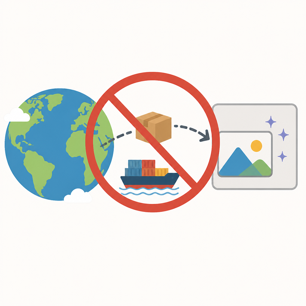
Google’s actual advantage is its data moat: satellite imagery, aerial photos, and 3D terrain models across many cities and countries. That is a defensible asset, but it changes the category. The winning product is not the one that draws the best cyberpunk skyline. It is the one that can produce a spatially credible transformation of a real place. If Google wants to own that category, it needs accuracy, auditability, and guardrails first, not a flashy launch.
The counter-argument
The strongest case for shipping is that this is exactly how new interfaces get discovered. A playful feature can expose a deeper platform advantage, especially when the underlying data is unique. Google Earth is already a beloved exploration tool, and giving users a one-click way to imagine Pompeii, a future Mountain View, or a redesigned city block turns passive browsing into active creation. That is a compelling product story.
There is also a strategic argument. If Google does not let users experiment with spatial generation, someone else will build a layer on top of maps, or a generic model will absorb the use case and make Google look slow. In that view, pulling the feature is caution that risks surrendering mindshare. The company should move fast, learn from misuse, and keep the momentum.
That argument fails on the central point: maps are not social media posts. A bad output here is not just ugly; it can mislead people about place, scale, history, and property. The right response is not to ship and hope users self-correct. The right response is to constrain the feature to narrow, auditable use cases, add visible provenance, and separate creative rendering from factual overlays. Google can still own the category, but only if it treats spatial truth as a product requirement, not a nice-to-have.
What to do with this
If you are an engineer, build spatial AI as a system of constraints, not a free-form image toy. If you are a PM, define where generated content is allowed, where it is blocked, and what proof of correctness the user sees. If you are a founder, remember the lesson here: the winner in geospatial AI is not the company that makes the wildest picture, but the one that can prove the picture belongs to the place.
// Related Articles
- [MODEL]
Try Claude Opus 4.7 and read its benchmarks
- [MODEL]
Opus 5 lets you cut cost without losing quality
- [MODEL]
OpenAI Cuts GPT-5.6 Prices as AI Bills Climb
- [MODEL]
Opus 5 proves premium AI is becoming a commodity
- [MODEL]
OpenAI Gives Scientists Free GPT-5.6 Access
- [MODEL]
Google ships Gemini 3.6 Flash and 3.5 Lite